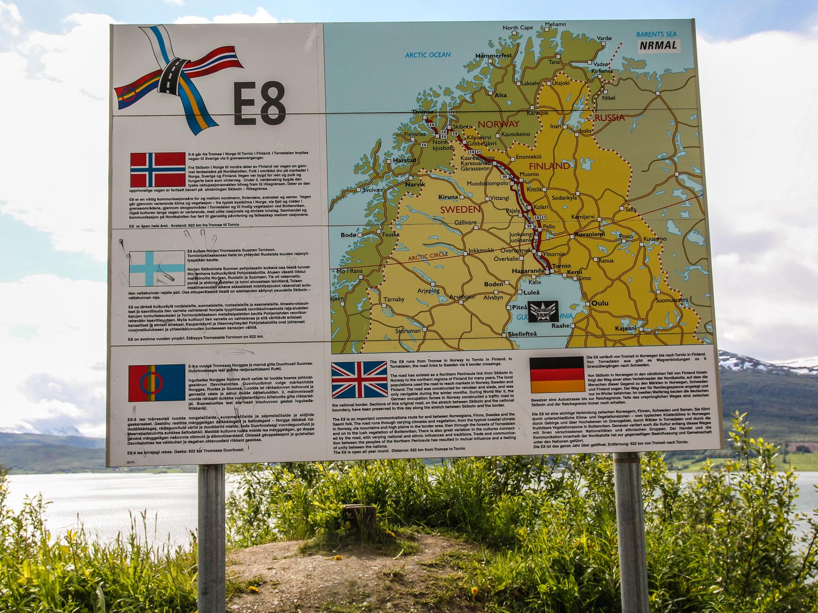
ETR // Stage 4 // Tromsø - Narvik

© ETR // European Touring Route AS
Open this stage on the map

Distance

  • Tromsø - Narvik

  • Radius 100 km
  • 315 km

Highlights

  • Tromsø Harbour
  • Senja and the islands
  • Dyrøya, Husøy, Tranøya
  • Garsnes Brygge
  • Mid-Troms Museum
  • Bardu Polar Park
  • Narvik War Museum
  • Narvikfjellet
  • Narvik Cable Car
  • The Ofoten Railway
  • Museum North
© ETR // European Touring Route AS

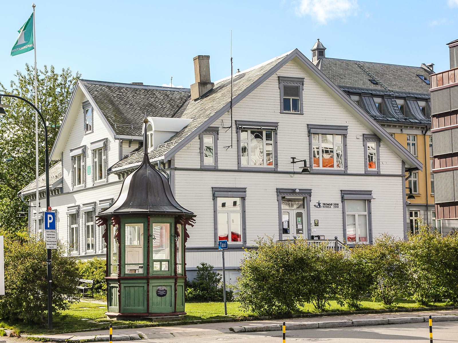
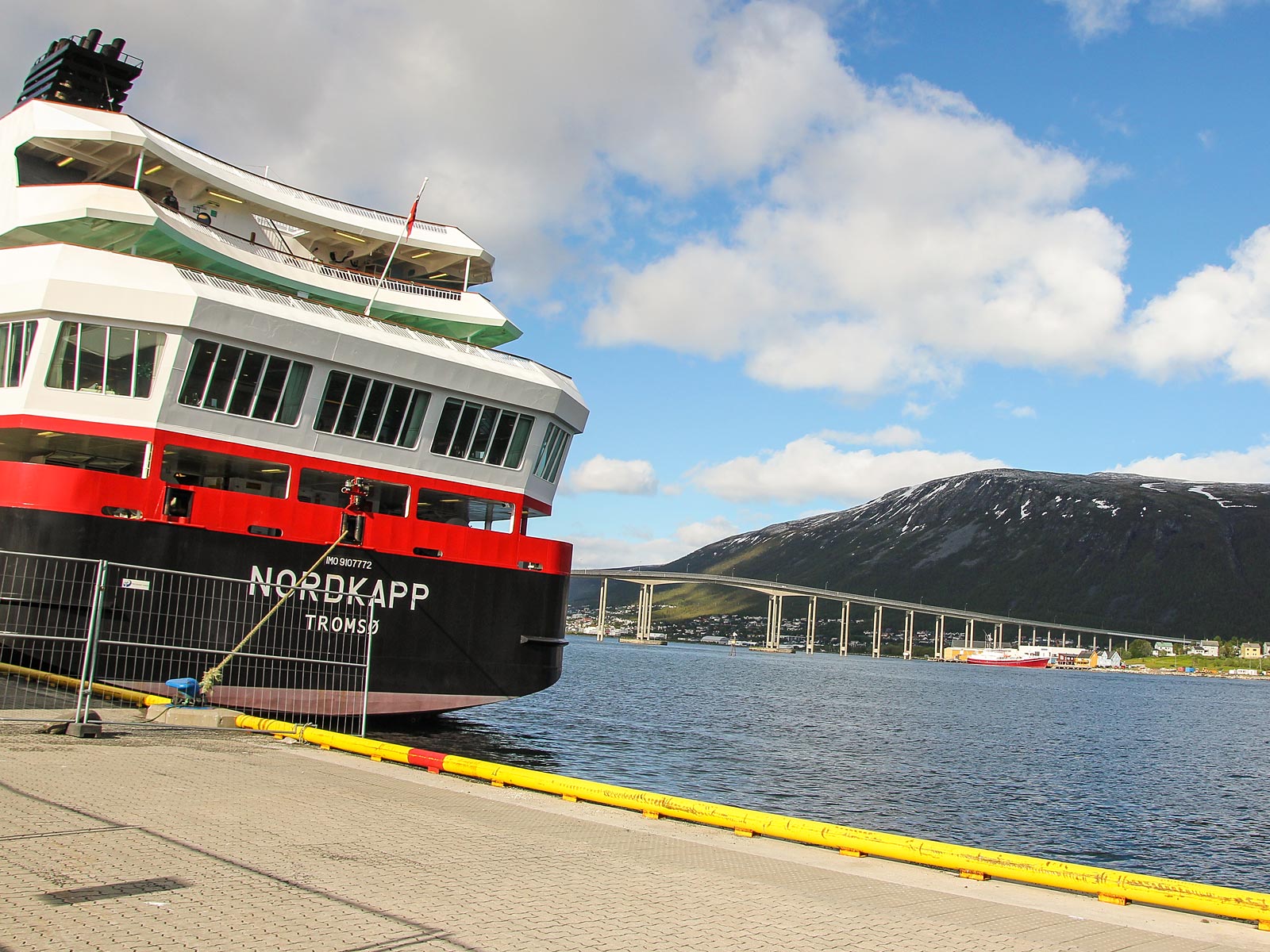
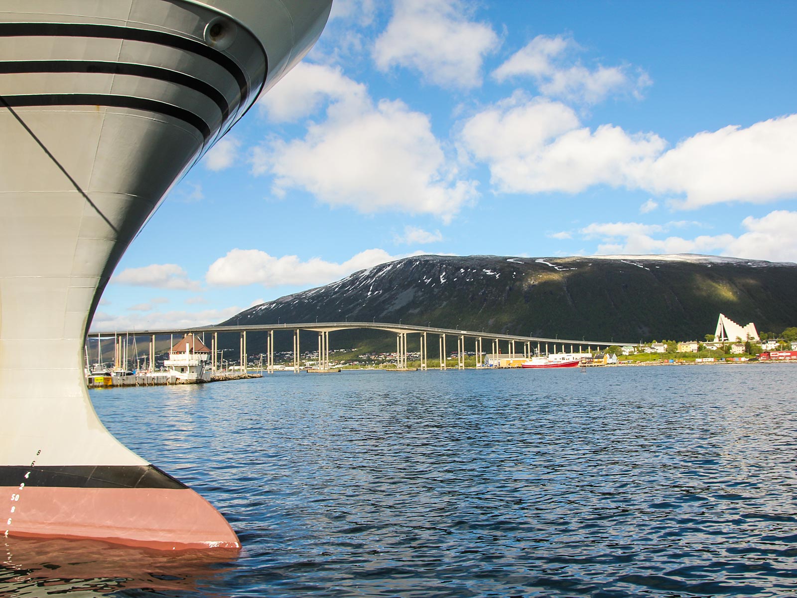
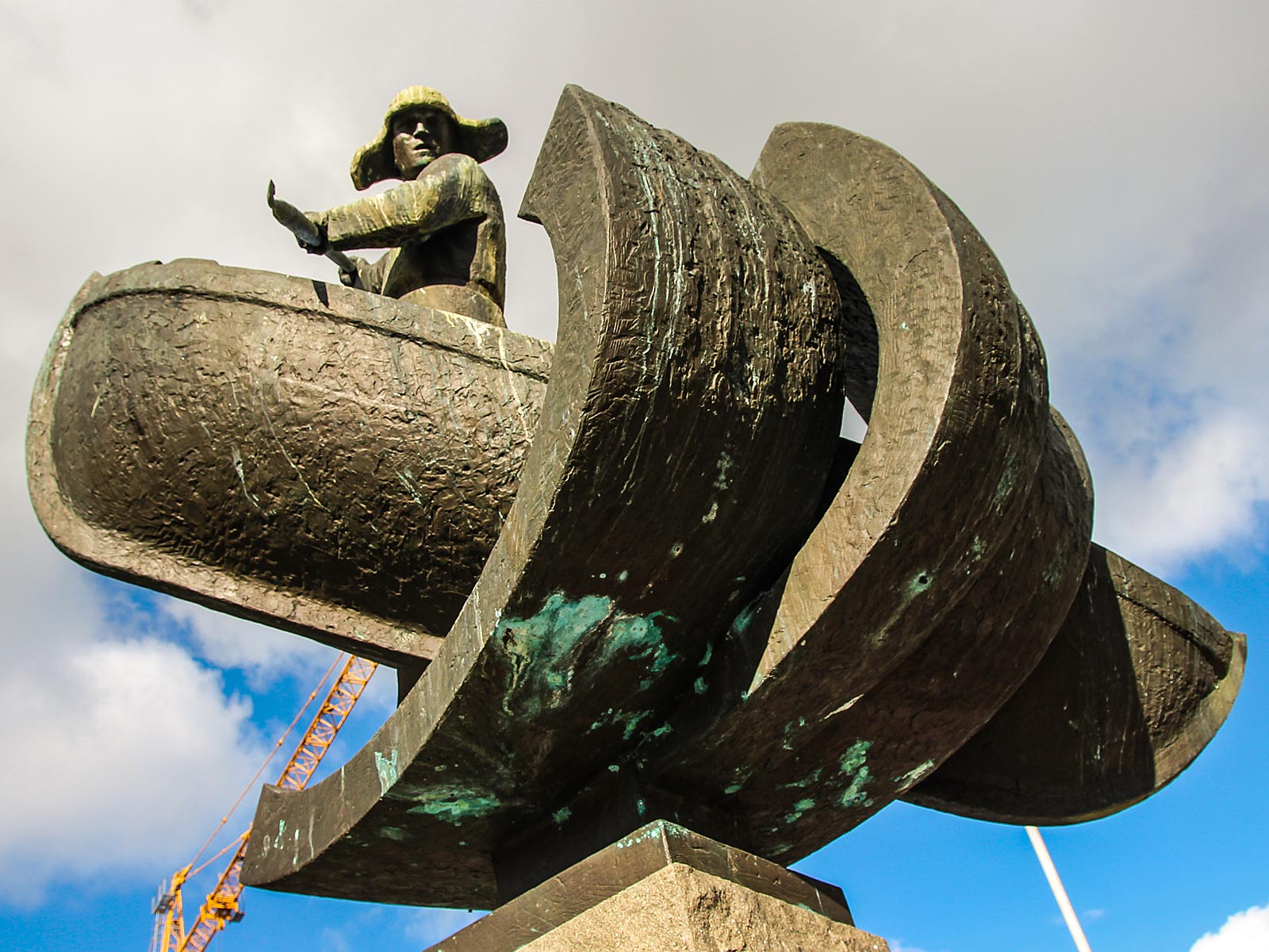
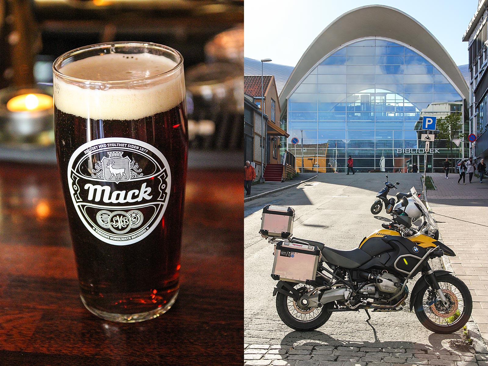
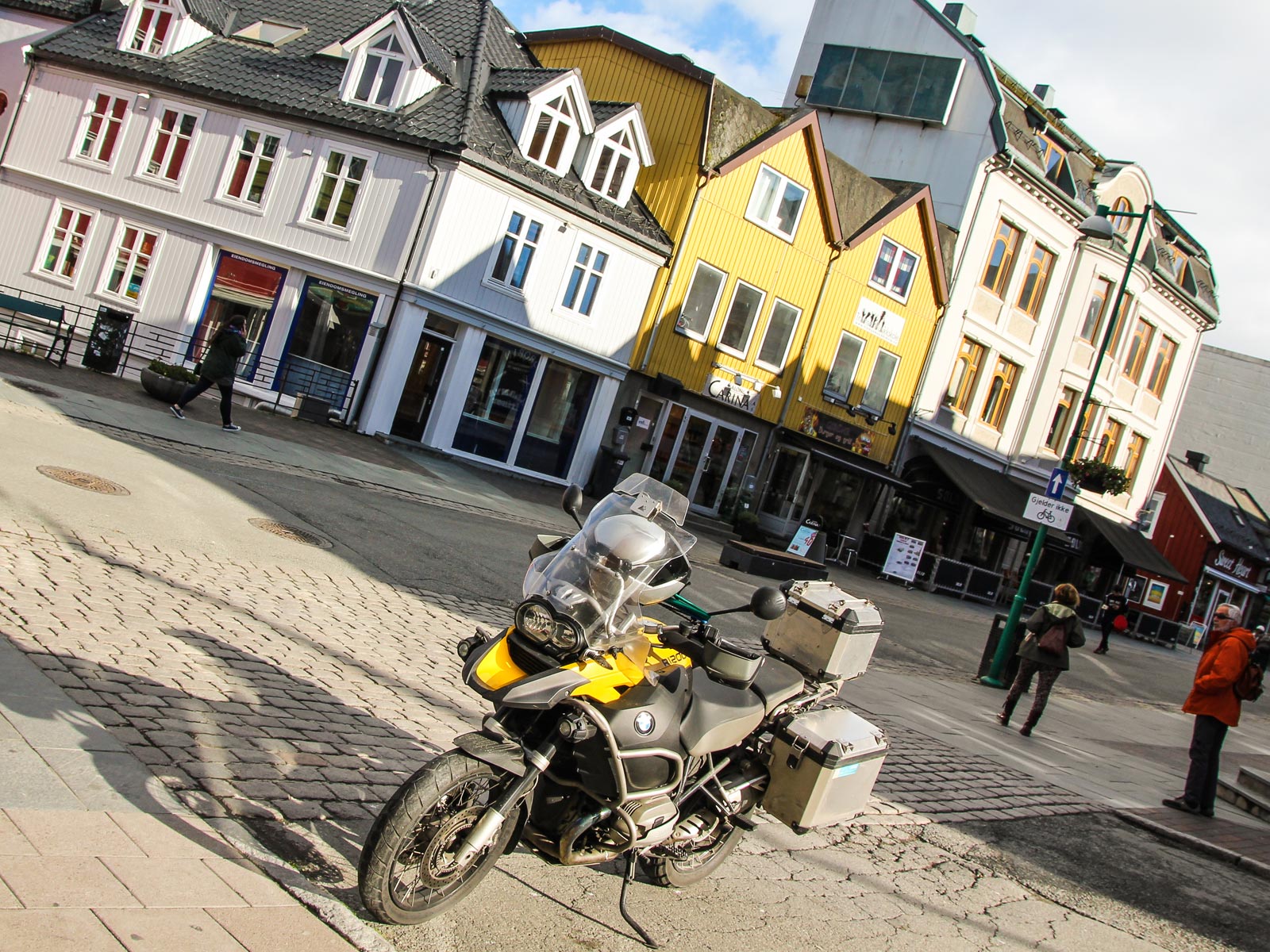
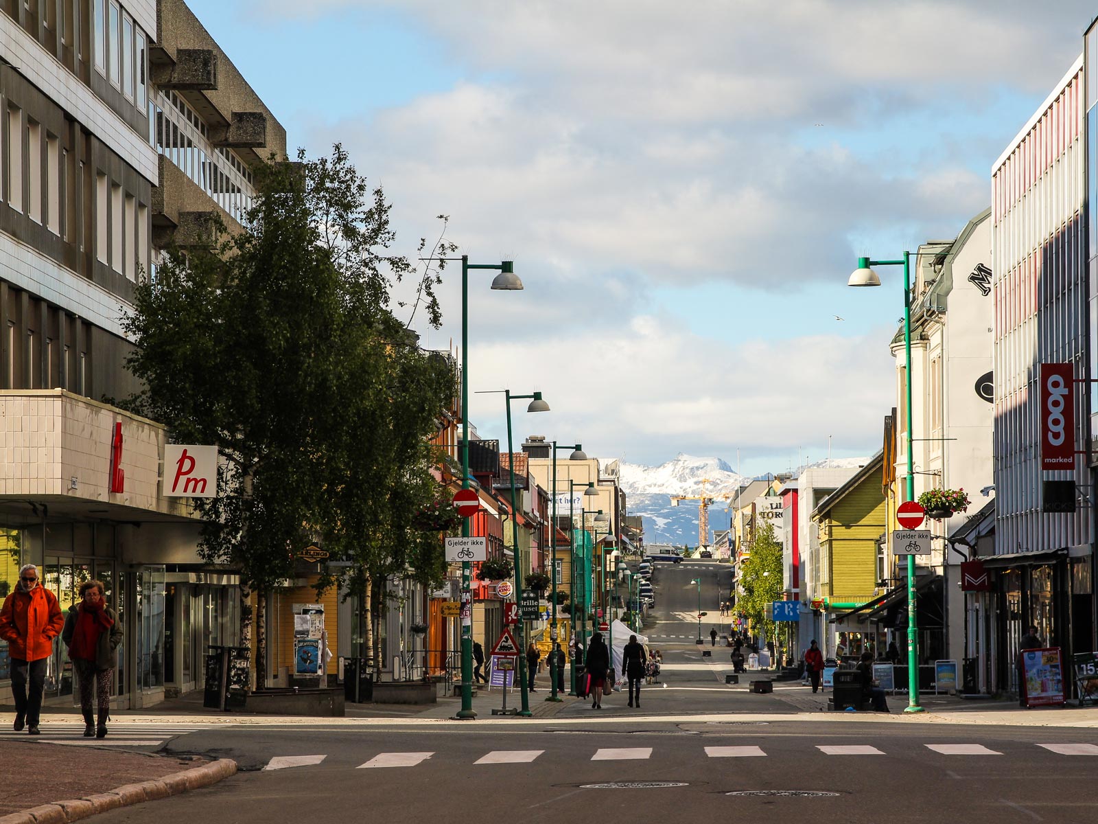
Take a slow morning in Tromsø

Before you hit the road south (or north) it's a good idea to take a slow morning floating around Tromsø, grab some breakfast somewhere, and watch the Arctic city slowly coming to life.

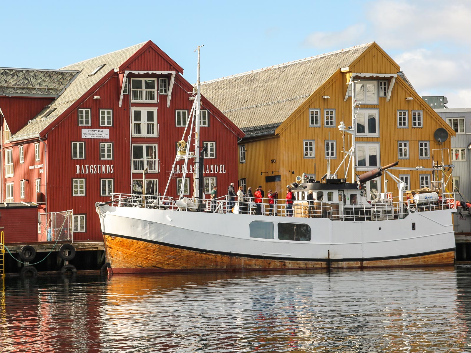
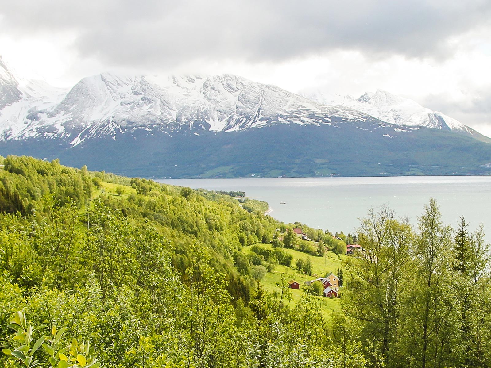
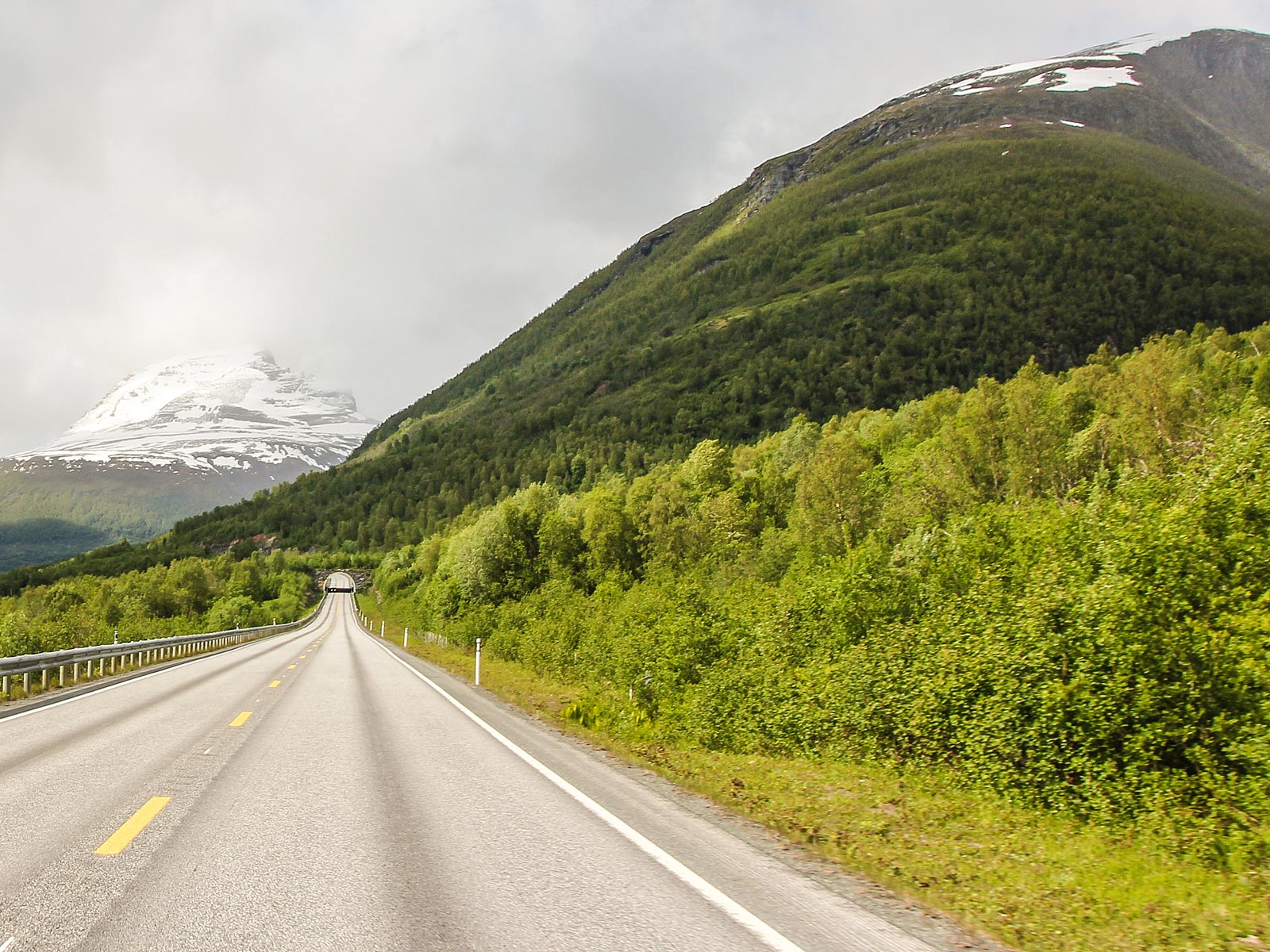
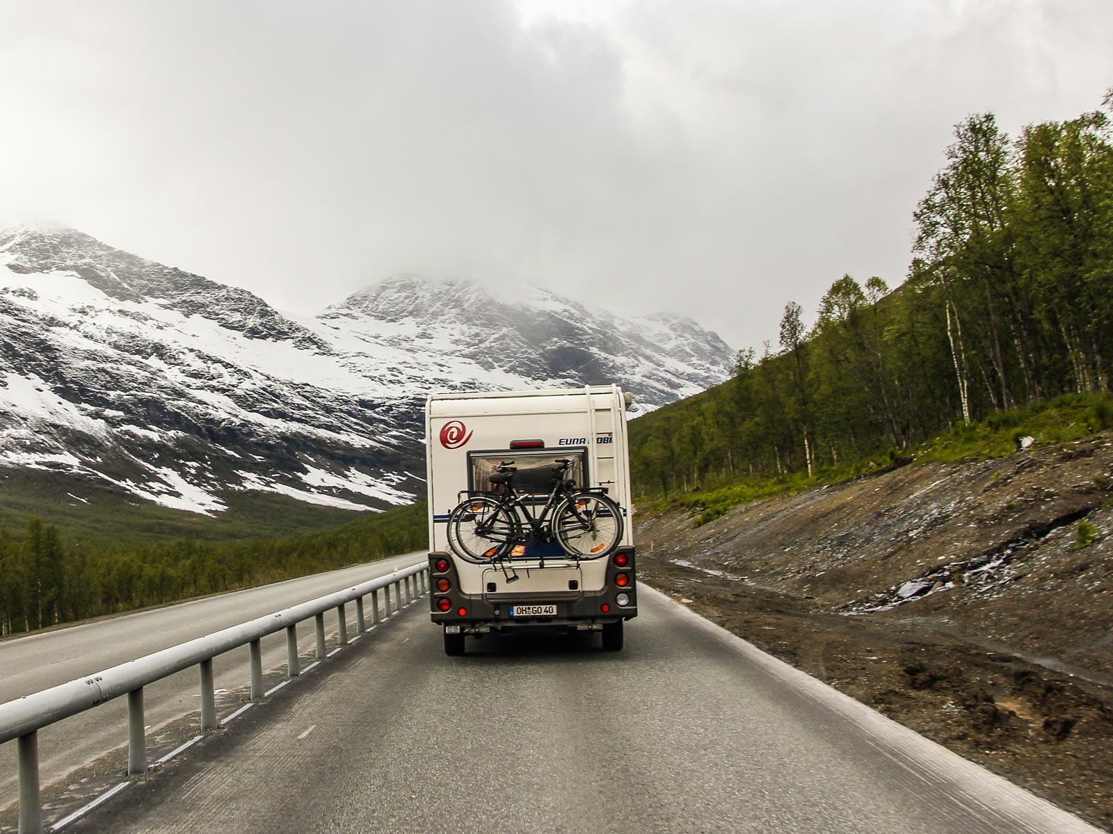
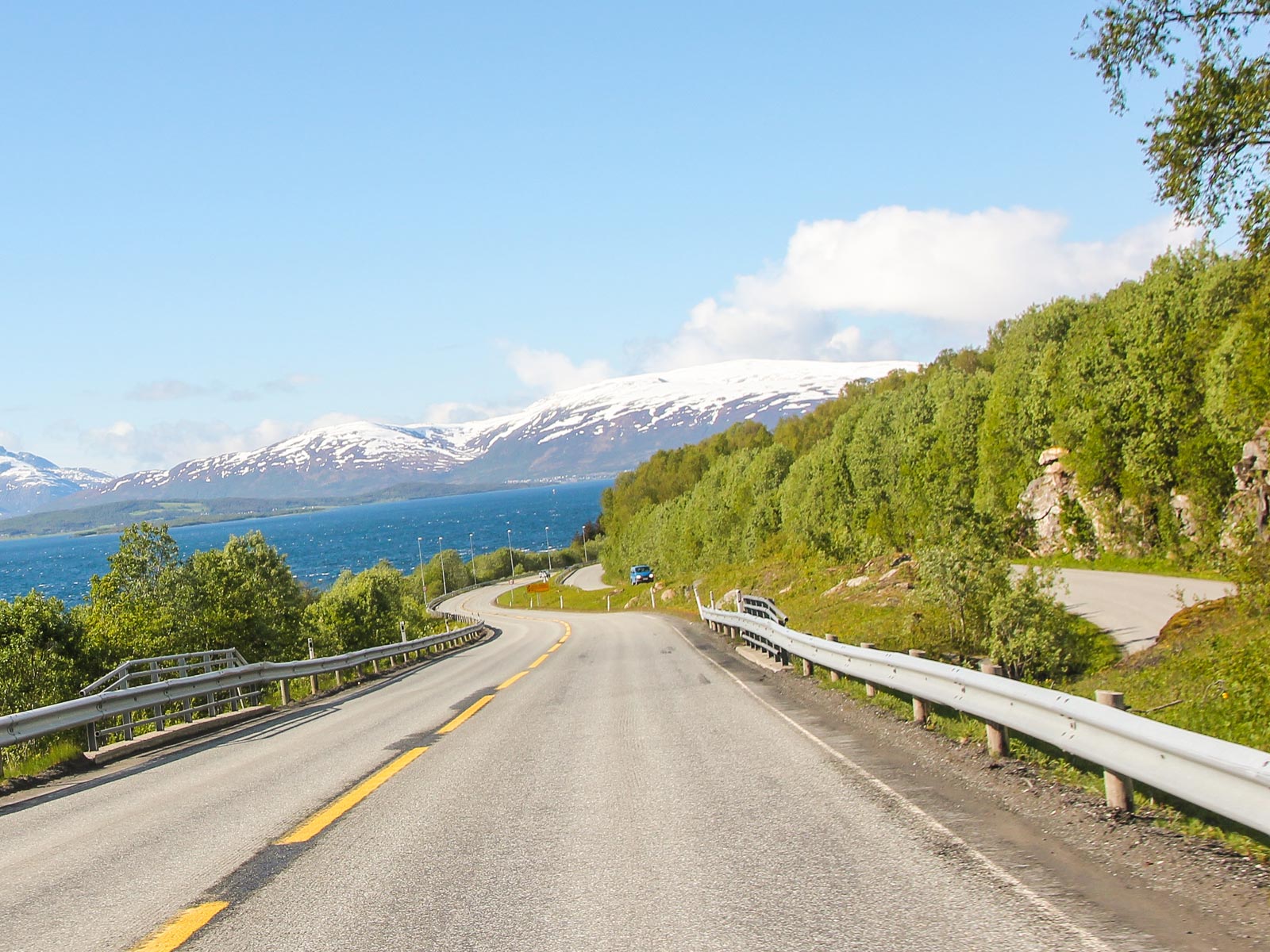
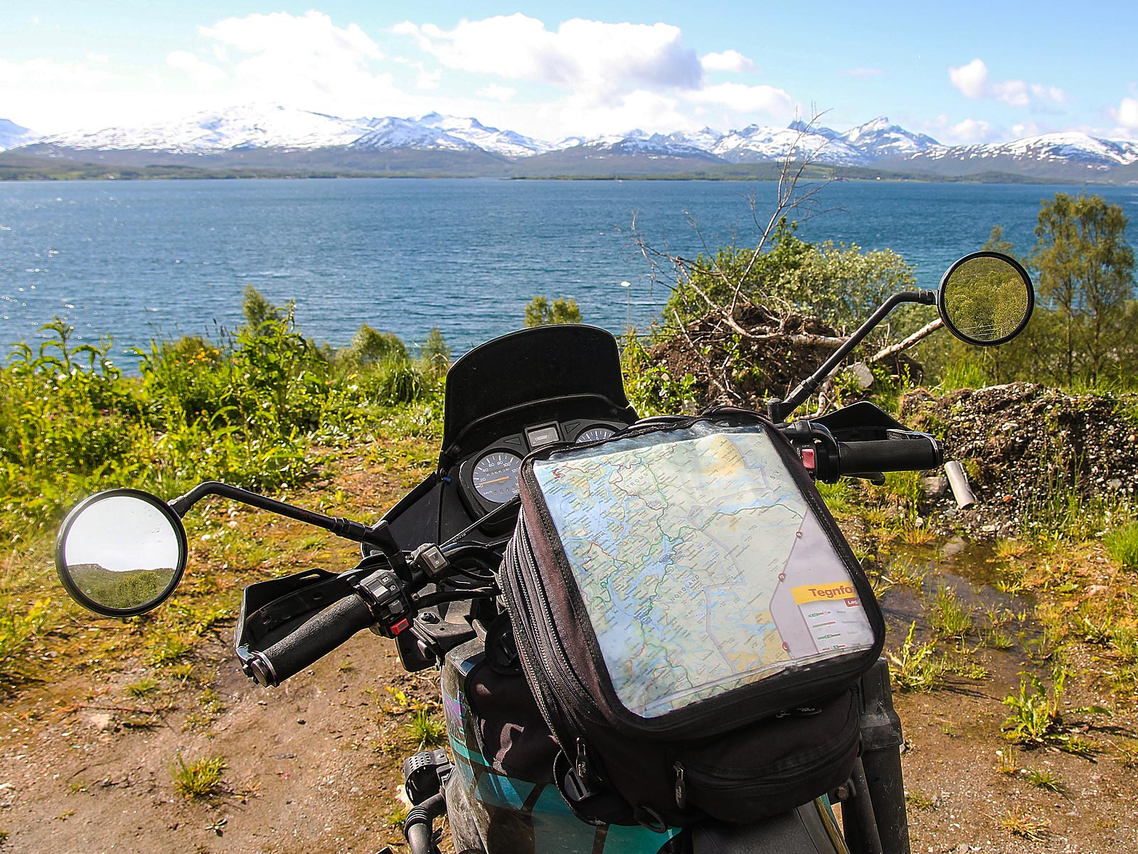
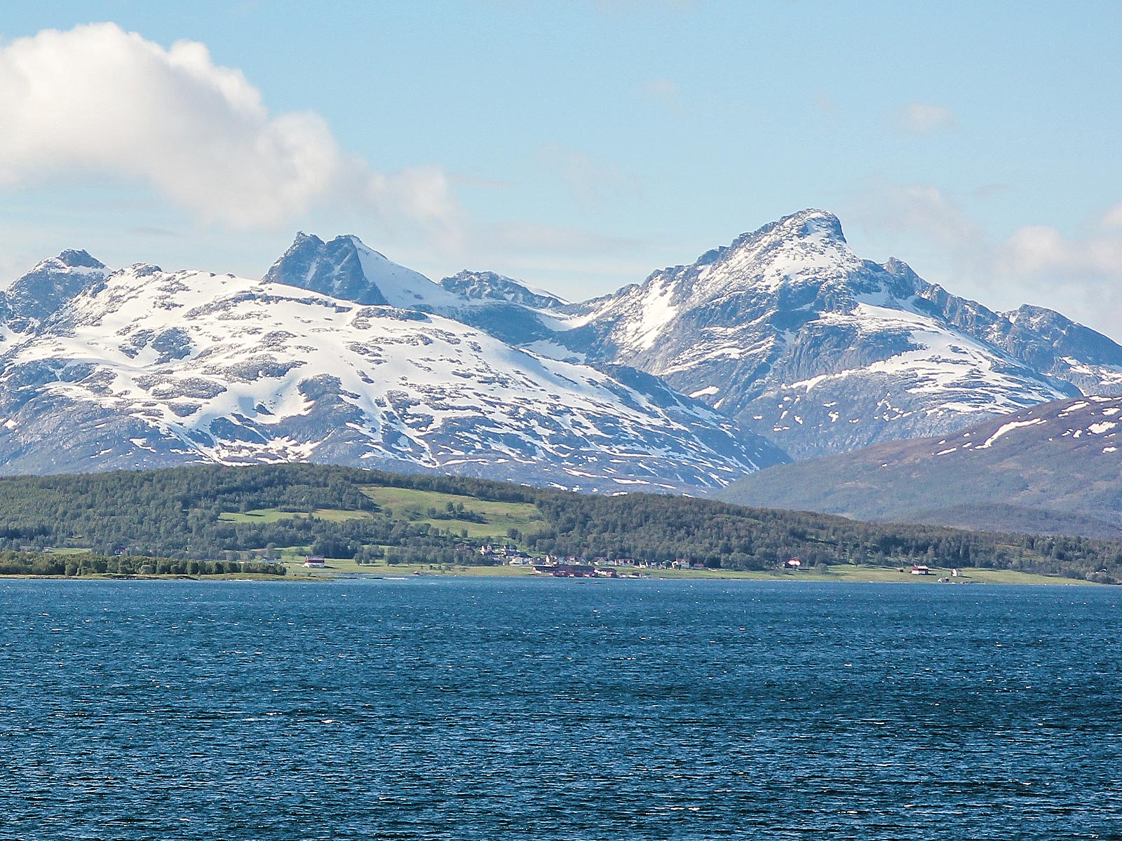
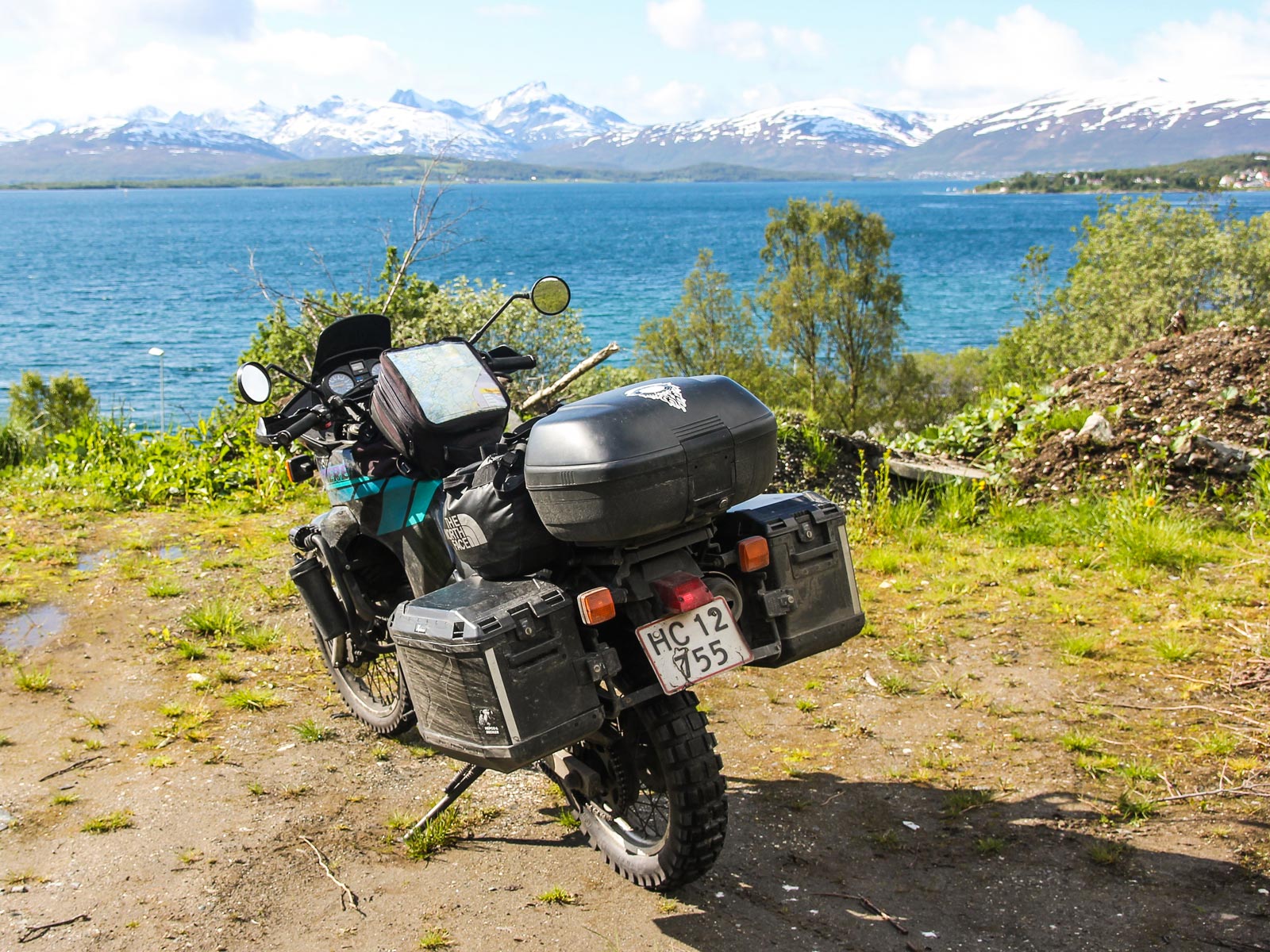
The islands on the road to Narvik

On the way to Narvik you should visit Sommarøy, Kvaløya or Senja. The island of Senja and the Mid-Troms region in general are located far north of the Arctic Circle, and this vast area is heaven for all types of outdoor people, with plenty of space for all activities imaginable. Senja is certified as a sustainable destination, a benchmark given only to destinations that work systematically to reduce the negative impacts of tourism.

While you're here, you should visit some of the other idyllic islands, such as Dyrøya, Husøy and Tranøya, where the Mid-Troms Museum has permanent exhibitions. Another northern Norwegian gem is Garsnes Brygge in Salangen on the mainland. This resort has comfortable cabins, great food and exciting excursions and activities connected to it.
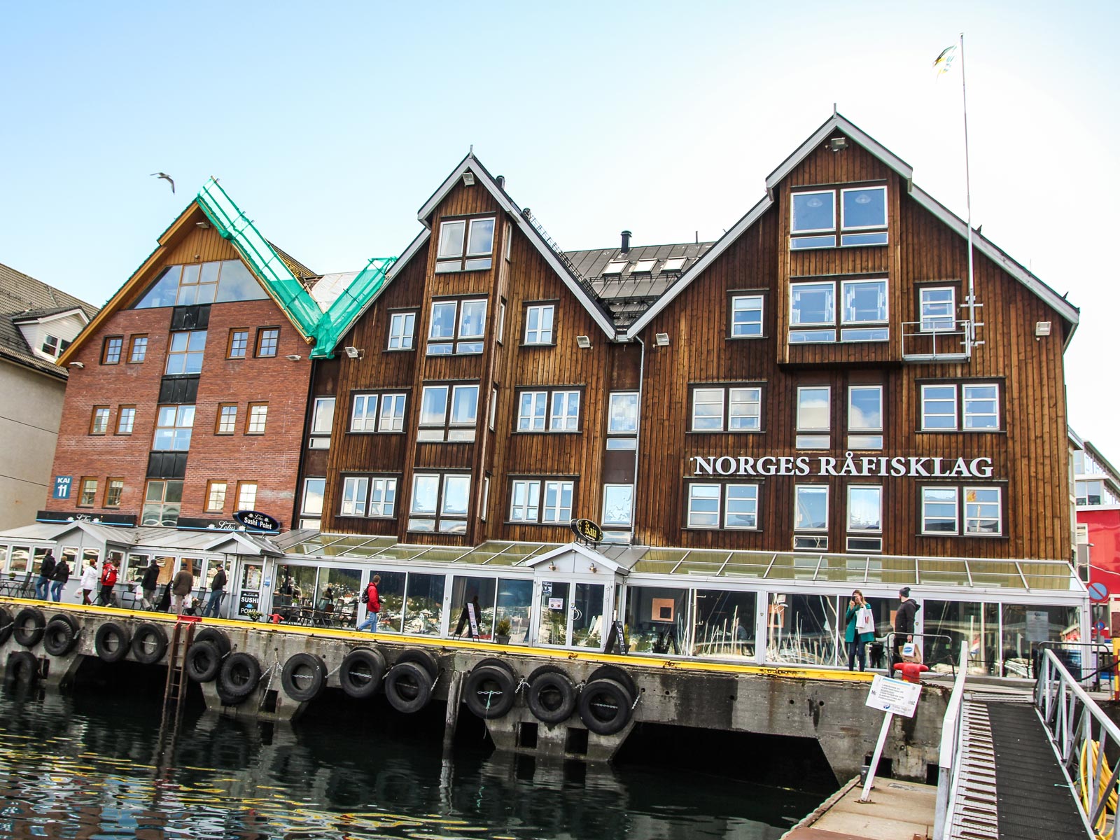
© ETR // European Touring Route AS

Experience the wilderness at Bardu Polar Park

The landscape around Bardu Polar Park is a magnificent backdrop for your arctic wilderness experience. You can meet wolves, bears and other wildlife in Bardu Polar Park, the world's northernmost zoo and home to the Nordic region's large predators and cloven-hoofed animals. Here, you can experience brown bears, wolves and lynx as well as elk, deer, musk and reindeer.

Since opening in 1994, Animal welfare is their most important focus, and the park is all about protecting and preserving animals in their natural surroundings. Most of the animals are social and curious, so the opportunity to spot them in the landscape is quite likely. If you have some extra time on your visit, you have good chances of seeing some of the predators or other animals. If so, you can choose whether you want to walk around on your own, or join a predator guide and learn more about the animals that live here.

© ETR // European Touring Route AS

The largest sea battle in the North Atlantic

From Bjerkvik, take a ride eastwards over to Narvik, before heading west again. Narvik originated as a settlement in the Stone Age, and Vikings have also lived in this area. The port of Narvik was strategically valuable in World War II and the town became a center for the Norwegian campaign, with the largest battle in the North Atlantic taking place in the fjords here.

© ETR // European Touring Route AS

Photos

  • Dave O'Byrne

  • European Touring Route AS

Partners

© ETR // European Touring Route AS

Ofoten Railway

Museum North overlooks the harbour and the town and shows how the town has changed throughout its history. You can learn about construction and operation of the Ofoten Railway, opened in 1902 to transport iron-ore from Kiruna in Sweden to the ice-free harbour in Narvik. The coldest, harshest and northernmost railway project the world had ever seen.
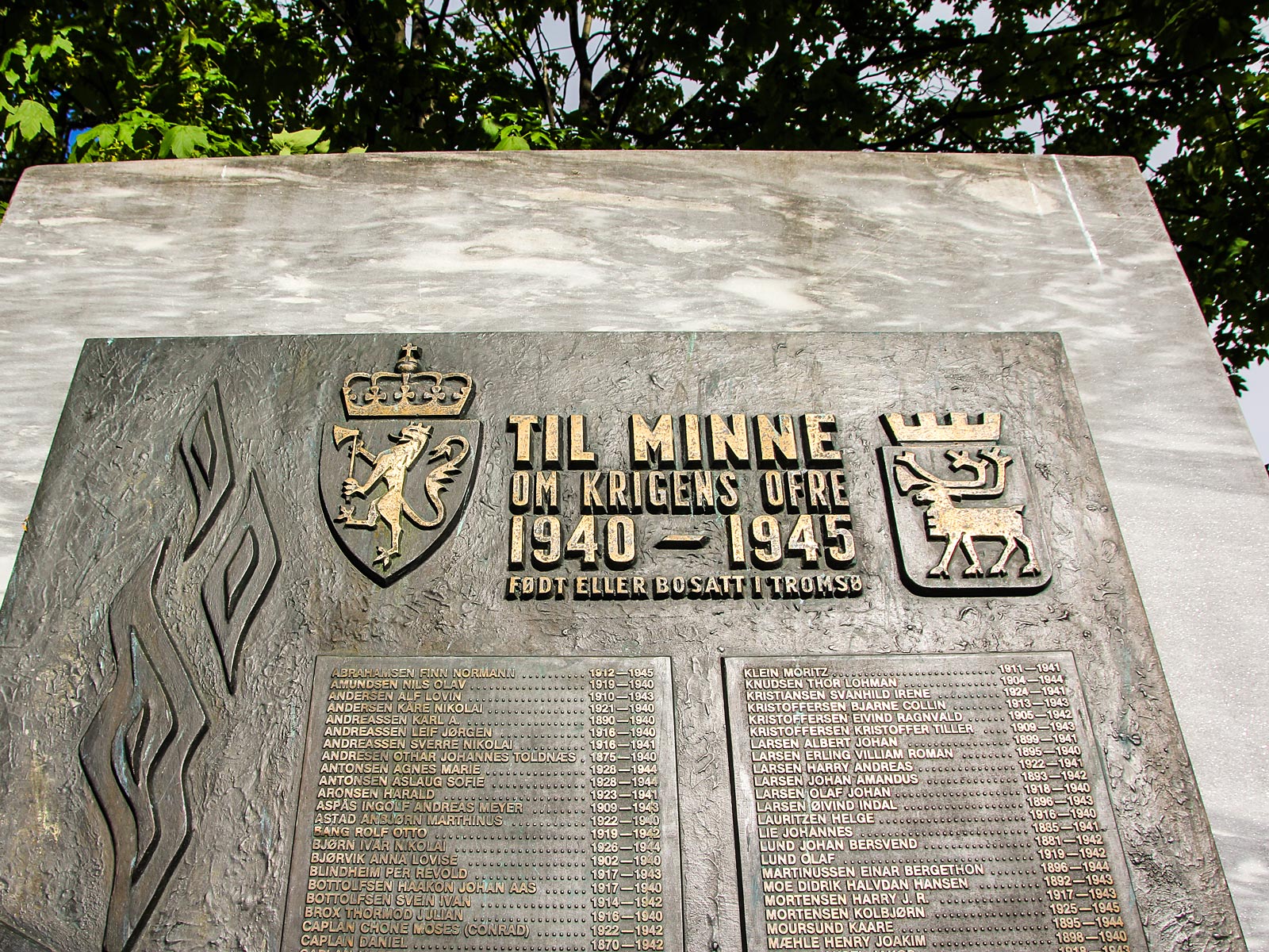
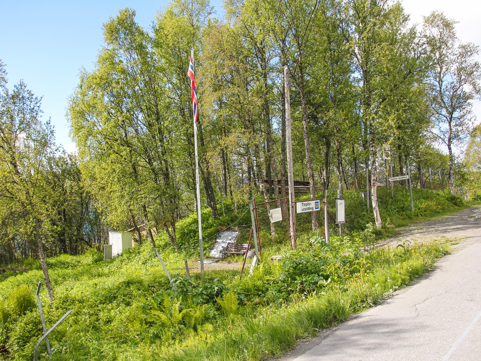
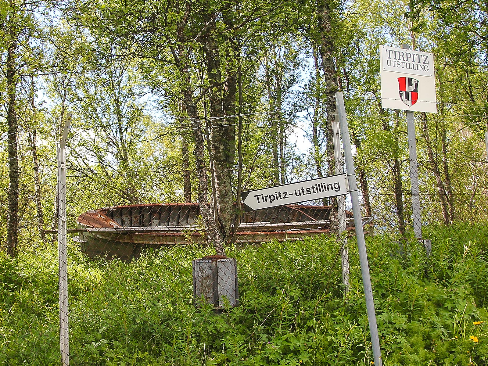
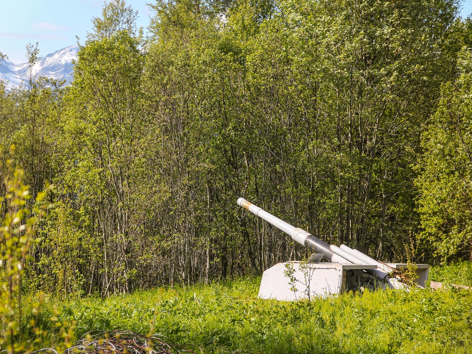
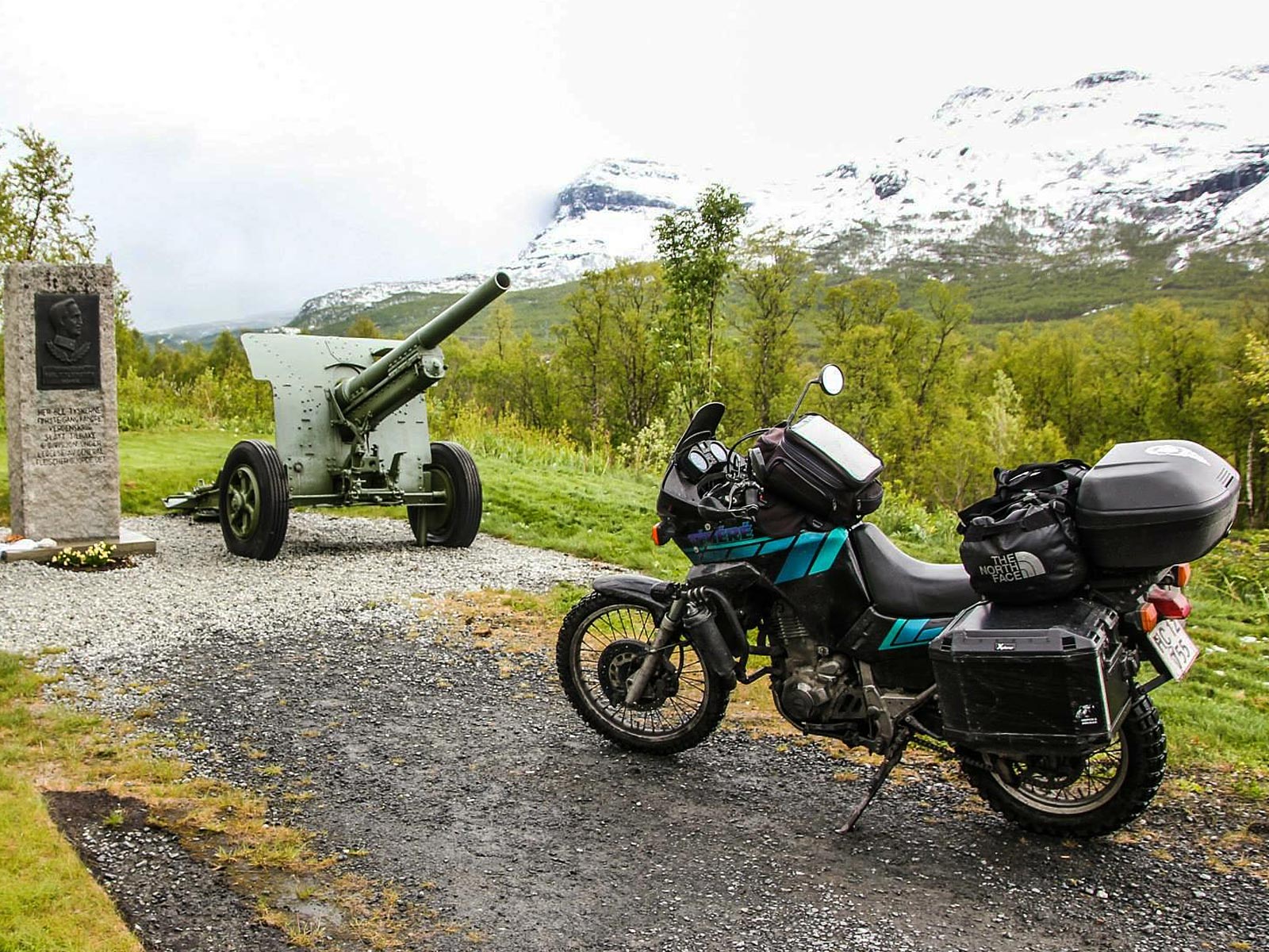
Narvik War Museum

Narvik War Museum can educate you in depth about battles and events between 1940-45. You can take an 8-minute cable car ride from the centre of Narvik takes up to the top station of Narvikfjellet at 656 m. for a spectacular panorama of the town and surrounding geography, with rugged mountains climbing vertically out of the ocean.

© ETR // European Touring Route AS

War Historical Landscape

War Historical Landscape is a project initiated by Norwegian Army Force Command in order to commemorate the war actions that took place in the areas around Narvik and the soldiers who participated in the war during two months in the spring of 1940.

War Historical Landscape is a series of monuments placed on the distance between Narvik and Bardufoss, in memory of the dramatic battles fought during the second world war. The six monuments and information boards are erected on sites being viewpoints for arenas where particularly hard combat between the Norwegian / allied forces and nazi-Germany took place: Skjomnes, Bjørnfjell, Bjerkvik (Herjangen), Øse, Lapphaugen and Bardufoss.

In Bardufoss, you can find a monument to commemorate the airfield which contributed to the first defeat of Nazi Germany in April 1940. It was on this place that Norwegian, British, French and Polish troops fought together in the Battle for Narvik. The memorial below is located on the site where the first strike back against the German forces during the second world war took place by Norwegian forces led by General Fleischer.

ETR 60 Stages

© ETR.world. ETR.travel. ETR XR. All rights reserved. EU Copyright | GDPR | SDG's | Cookies | Terms | Credits