-
68°26'16.9"N 17°25'33.5"E
-
68.438028, 17.425972
Distance
Highlights


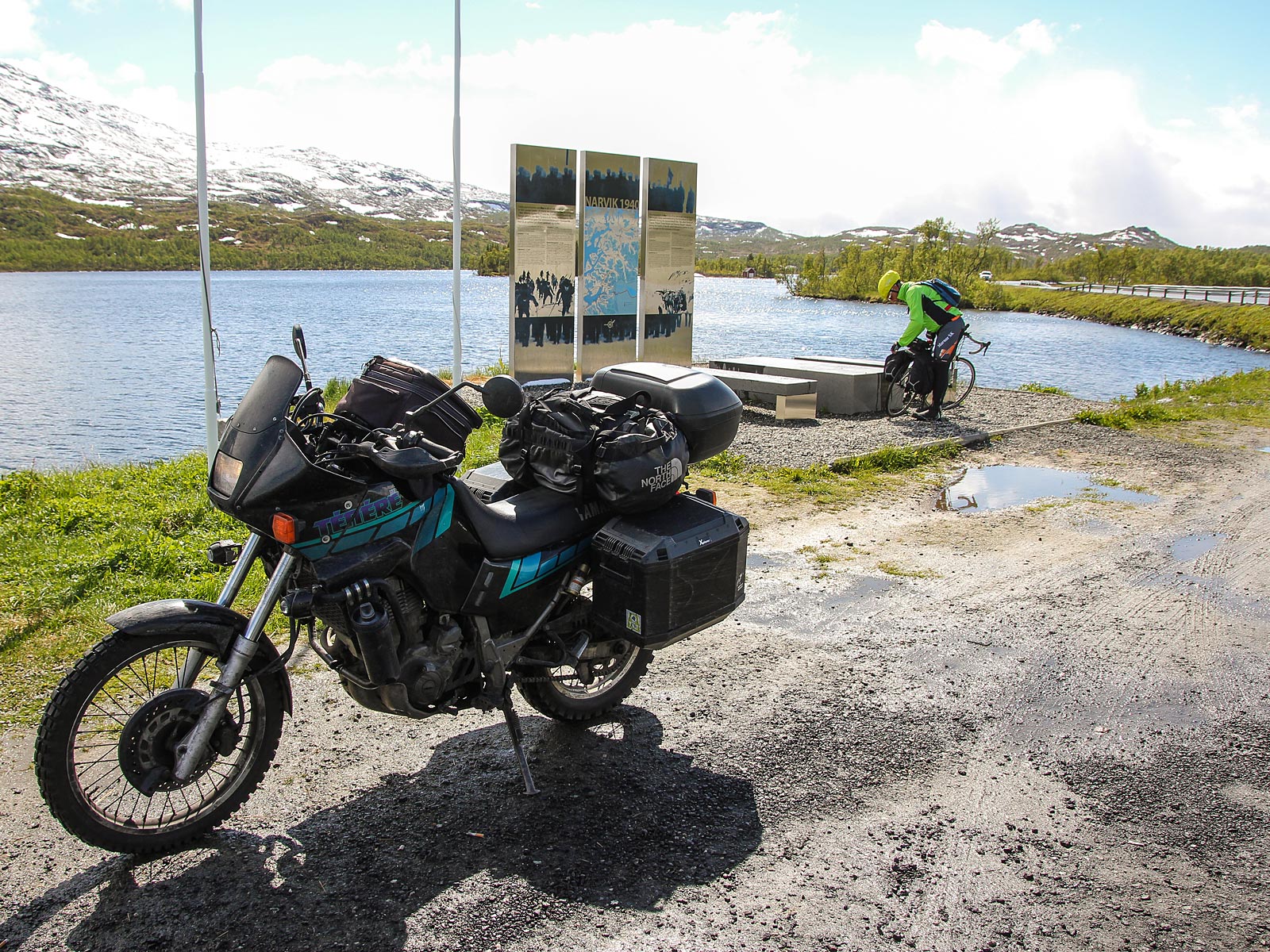
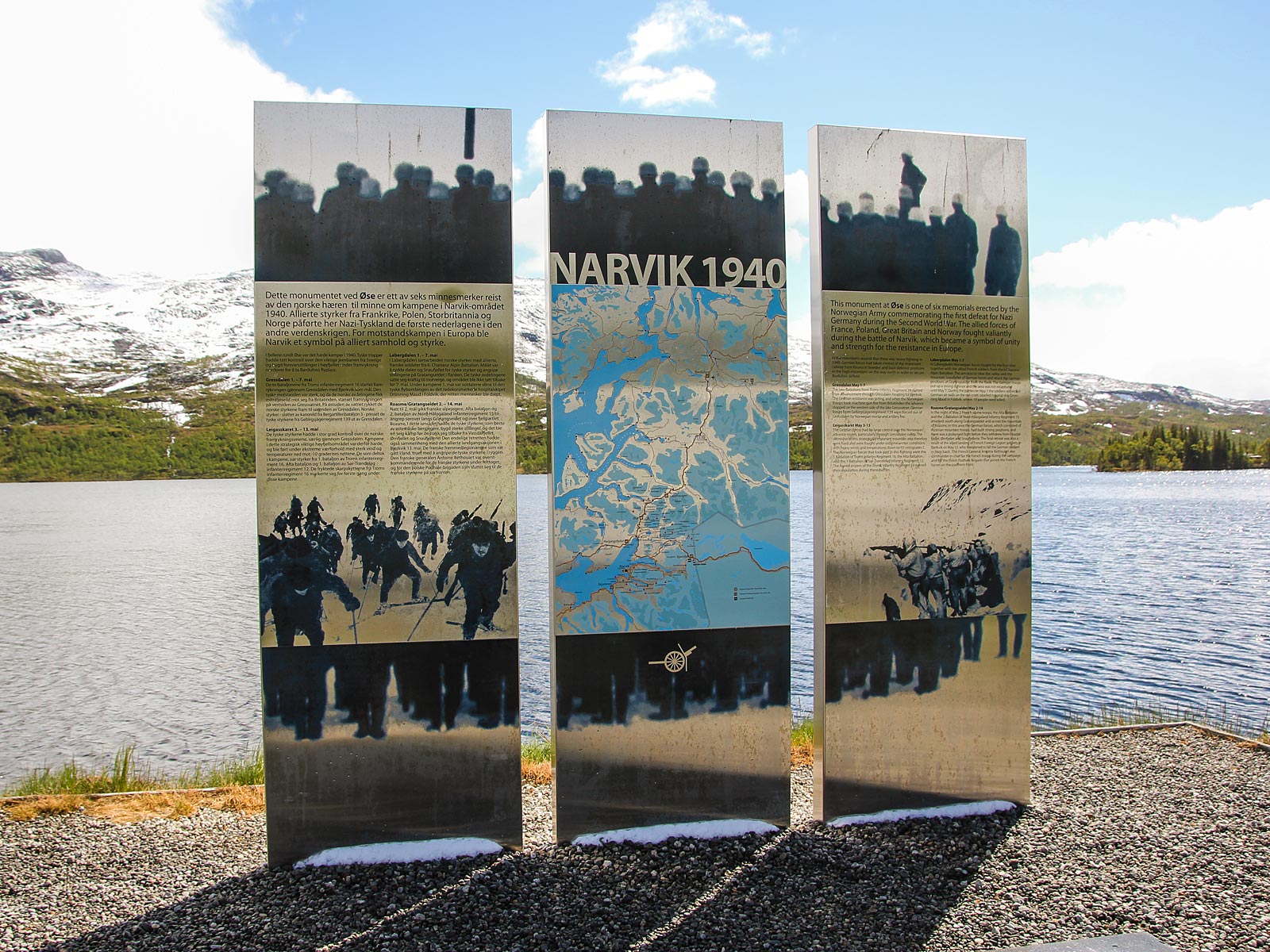
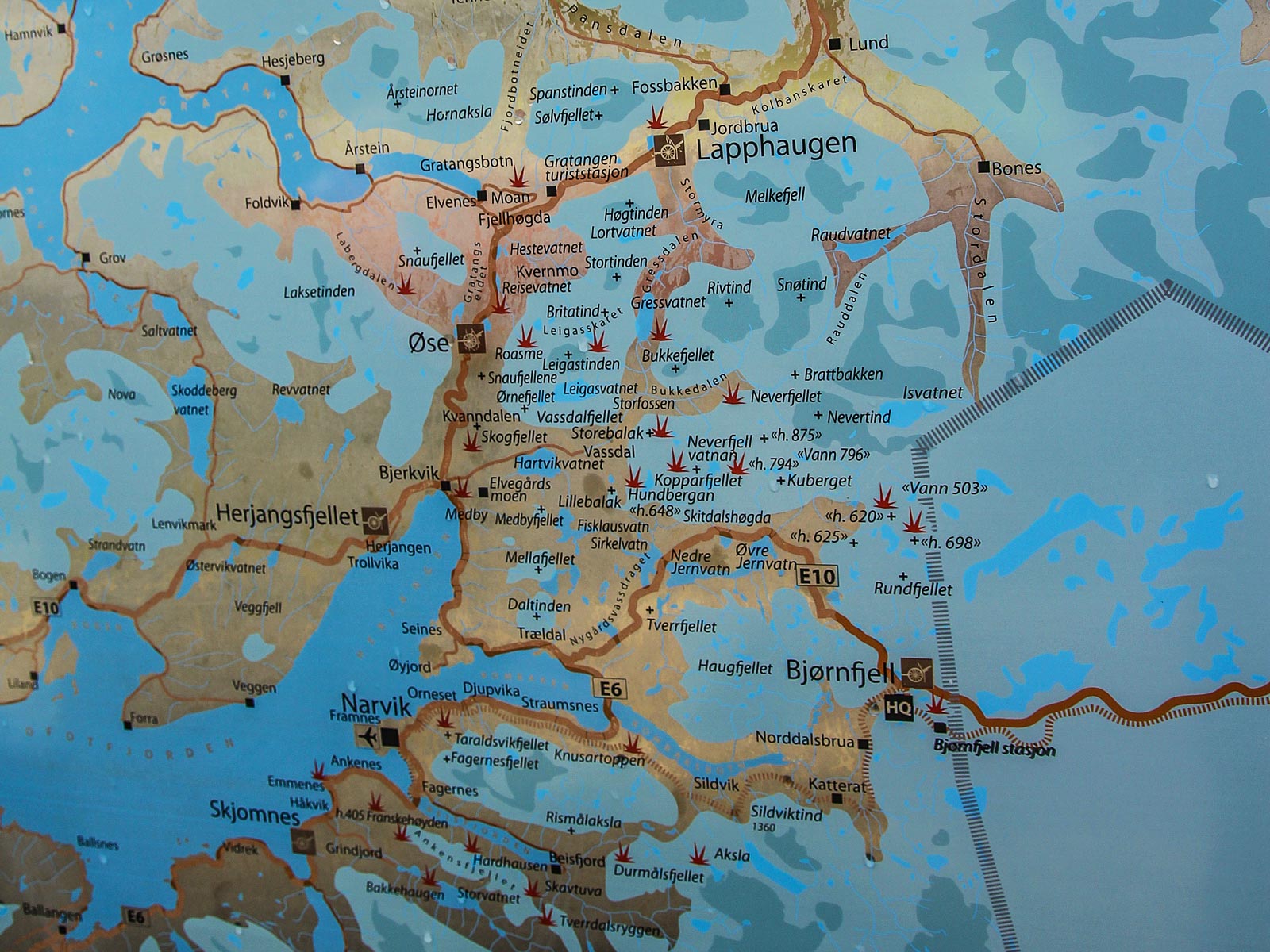
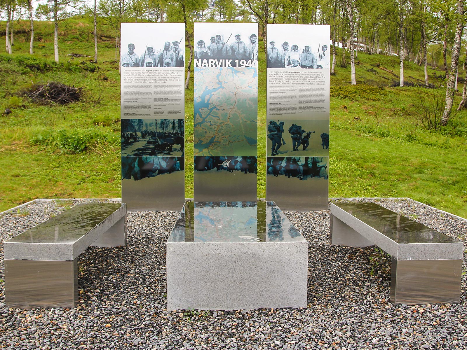
War Historical Landscape
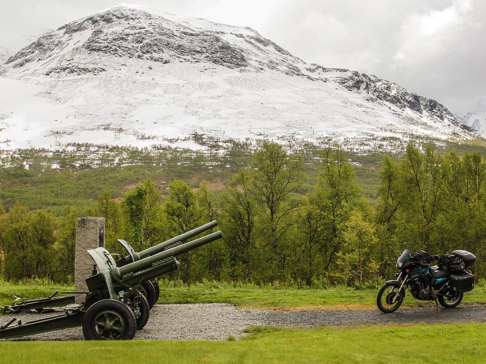
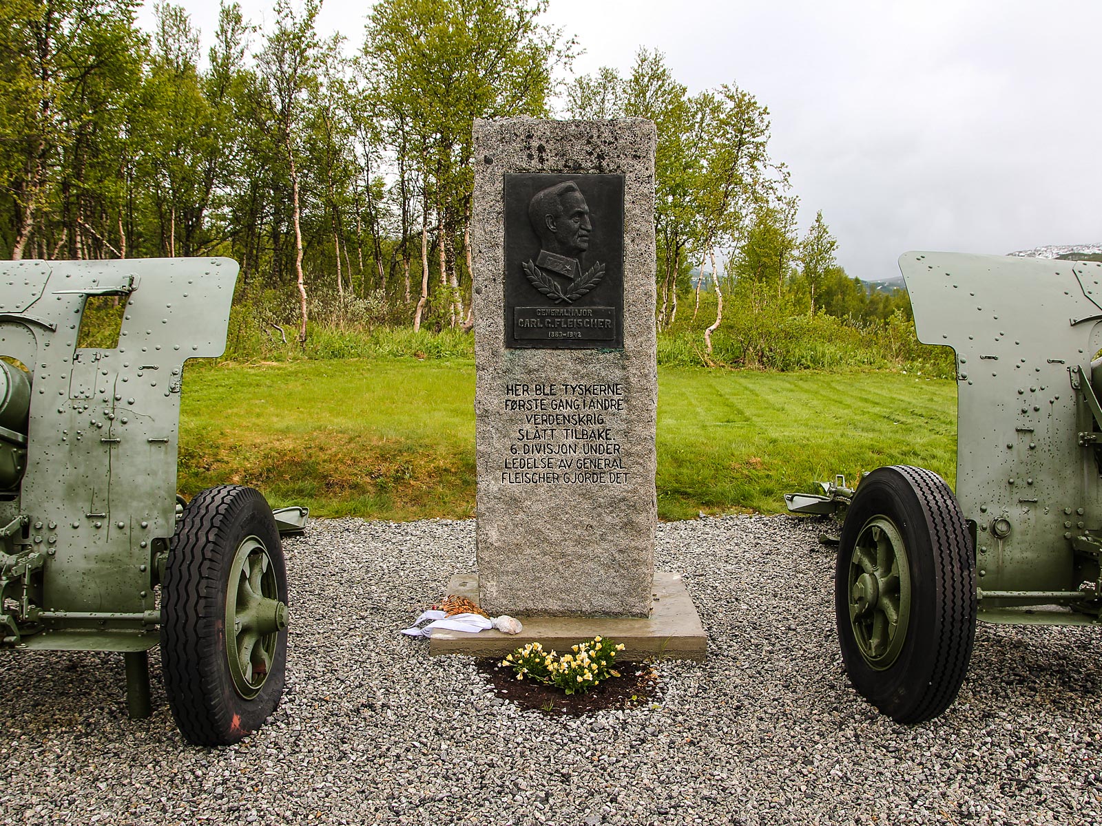
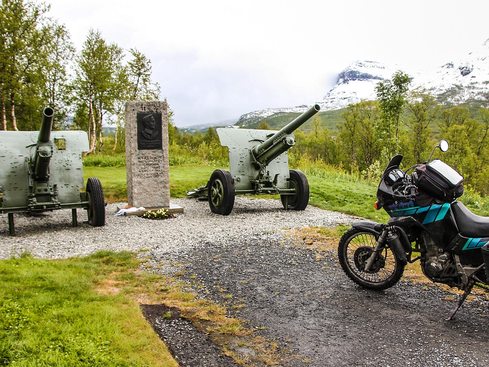
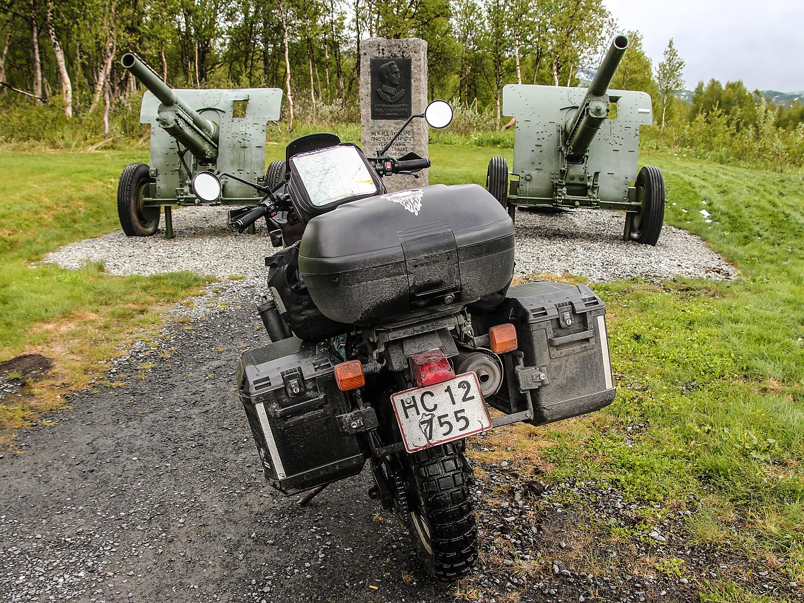
War Historical Landscape is a project initiated by Norwegian Army Force Command to commemorate the missions and dramatic battles that took place in the areas around Narvik, and the soldiers who participated in the Second World War during two months in the spring of 1940.
One of the memorials (main image above) is located on the site where the first strike back against the German forces during the second world war took place by Norwegian forces led by General Fleischer.
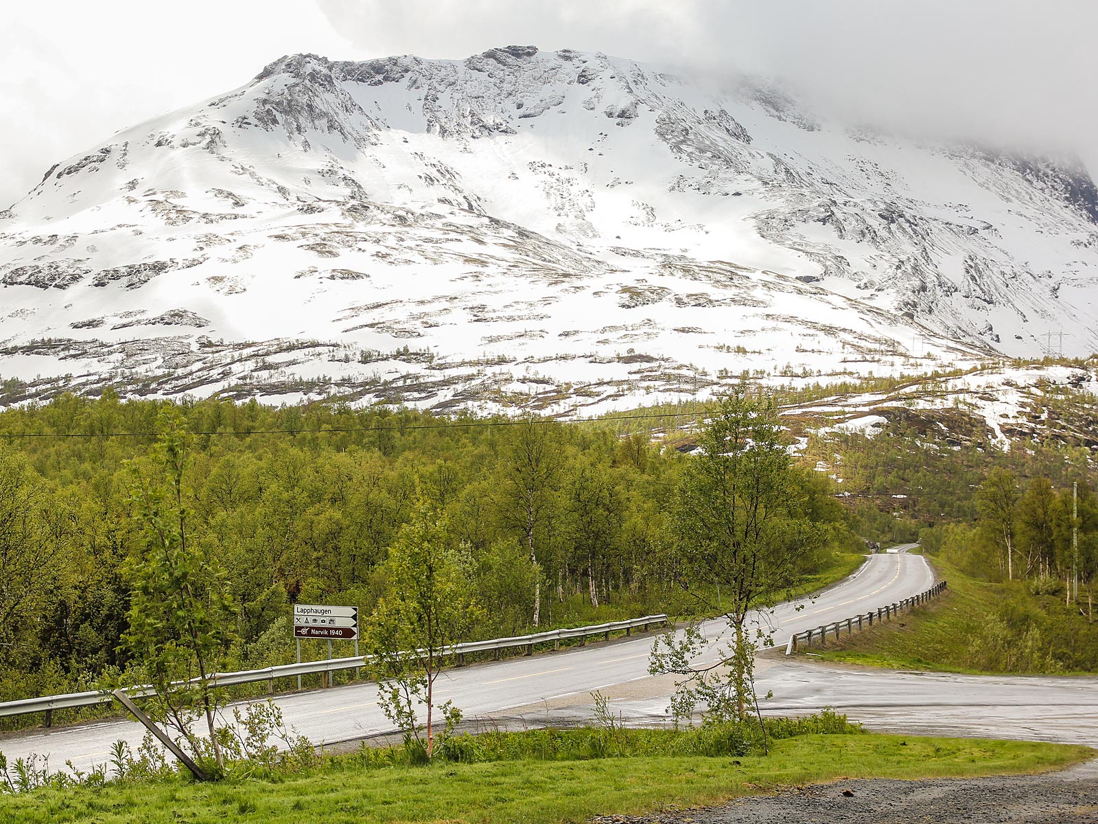
War Historical Landscape is a series of monuments placed on the route between Narvik and Bardufoss. The six monuments and information boards are erected on sites being viewpoints for arenas where particularly hard combat between the Norwegian / allied forces and nazi-Germany took place: Skjomnes, Bjørnfjell, Bjerkvik (Herjangen), Øse, Lapphaugen and Bardufoss.


Eye in Stone
Lødingen in Nordland is located on the southeastern corner of the island of Hinnøya, and part of the traditional district of Ofoten.
While in the area, you should check out the famous Eye in Stone (Øye i Stein) part of Artscape Nordland (Skulpturlandskap Nordland), as well as the Norwegian Telecom Museum, the Pilotage Service Museum and the Rotvær Lighthouse, before you get the ferry across to Bognes.
Rotvær lighthouse sits at the east end of the island of Fugløya about 6 kilometres south of the village of Lødingen, lighting safe passage through the dangerous reef at the entrance to Ofotfjorden.
Skulpturlandskap Nordland
Artscape Nordland (Skulpturlandskap Nordland) is an international art project that aims to bring art to people where they live, art museums being few and far apart in the sparsely populated county of Nordland. The project currently includes 33 sculptures by 33 artists from 18 different countries placed in 32 municipalities in Nordland, and one in Troms.